Table of Contents
The tools and strategies included in this guide come with an important caveat – one size does not fit all. A tool that is effective for one community may be less effective for another based on several factors discussed in this section. Understanding local context is essential to building support for land use decisions and achieving appropriate mitigation strategies. It is also important to recognize that the tools and strategies included in this guide are examples and best practices, and in many cases can be further tailored to fit within the local context. For example, a simpler Transfer of Development Rights (TDR) program can be developed for smaller communities with fewer staff to administer the program, rather than simply assuming that the tool will not work for that particular community.
Colorado communities range in population size, from large cities like Denver and Grand Junction, to small towns such as Buena Vista and Brush. Typically, larger communities have more local government staff and larger budgets. They may have more resources available to help plan for and manage the impacts from hazards. However, many small towns in Colorado are faced with the same hazard-related challenges as larger cities.
 For example, the City of Boulder, with a population of 97,385 (Boulder city, 2010), and the City of Glenwood Springs, with a population of 9,614 (Glenwood Springs city, 2010), are both nestled in the foothills. Both cities have significant development pressure in the Wildland-Urban Interface (WUI), and each has experienced devastating wildfires in the past decade. While the geographic extent of the Boulder restrictions will be broader given the community’s larger size, the two communities may implement similar programs and land use tools for wildfire mitigation, such as adopting restrictions on hillside development.
Another important factor to consider is geographic location. Colorado is divided into several climates and ecologies, each with a unique set of challenges related to natural hazards. For example, tornados and extreme drought conditions on the Eastern Plains are often not present or are less severe in higher alpine communities. Geographic location can also influence factors such as political palatability of a particular strategy, cost to implement mitigation actions, and effectiveness of a particular tool based on local conditions.
A program or tool is only effective if it is consistently administered and enforced. For example, landscaping maintenance standards are an appropriate mechanism for reducing fuel load in wildfire-prone areas. However, without dedicated staff or other resources to enforce those standards, compliance will be limited. It is important for any community considering a new planning tool or strategy to evaluate:
- Technical capability. Does the community have the technical understanding or immediate access to training necessary to adequately administer the program or tool?
- Administrative resources. Would administration of the strategy or tool require additional employees or contractors?
- Financial capacity. What are the costs to administer and maintain the proposed strategy or tool? What resources are available (both internal and external) to help implement the tool?
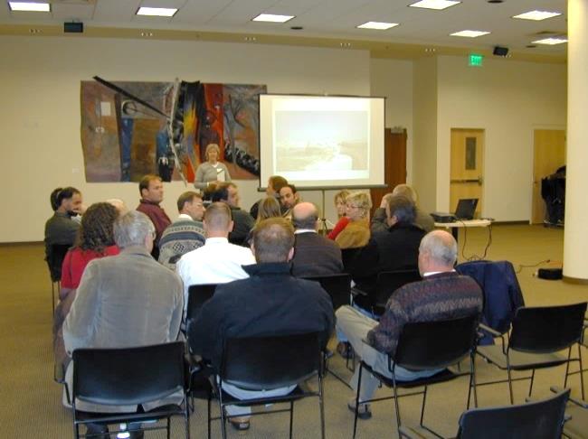
In addition to quantifiable factors such as human and financial resources, communities must also evaluate whether or not a proposed tool or strategy is aligned with the community’s values and political environment. A good comprehensive plan will clearly identify the community’s goals and vision for the future. That makes it easier to build support for initiatives that are in tune with such stated values. However, in the absence of clear direction, communities (and often land use planners) have to test the waters through public forums, interaction with elected and appointed officials, and stakeholder interviews before estimating the feasibility of adopting a new tool or strategy in the community.
 It is important to understand the local nuances to build a more effective case for land use planning and hazard mitigation. For example, if a community is continually pushing tree preservation as a top priority, then promoting defensible space standards (which typically involve thinning fuels) would require proactive discussion on how to both preserve the forest while also protecting people and structures from wildfire risk.
Another consideration related to the political environment is the general comfort level for policy versus regulation and incentive versus regulation. For example, if the current political climate is actively promoting incentives for development and is adverse to additional regulatory tools, then planners can explore a different set of strategies for mitigating hazards (e.g., density bonuses that encourage conservation in lieu of an overlay zone that prohibits development).
In sum, the size, location, resources, and policy goals of a community all influence the degree and extent to which it should embrace the particular planning tools described in this guide. Each tool should be tailored according to the local context, particularly in terms of resources available for long-term maintenance, enforceability, and administration. Answering these questions is not always clear-cut. Thoughtful consideration should be given to how a new program or tool might also impact other current policies and regulations, how other departments or agencies may be impacted, and whether additional funding mechanisms should be pursued.
