Table of Contents
Flooding is the most frequent and costly natural hazard in the United States—a hazard that causes more fatalities than any other natural hazard and averages nearly $10 billion in losses per year. Nearly 85 percent of federal disaster declarations result from natural events where flooding was a major factor (Implementing a Federal, 2015, p. 2).
Colorado communities are impacted by flooding on an annual basis, and nearly every community in the state is subject to special flood hazard areas as mapped by FEMA and as made available through the Colorado Water Conservation Board. In addition, there are approximately 677 state-regulated dams that, in the event of a failure, could cause loss of life and/or significant property damage in communities located within downstream flood hazard areas.
The most flash-flood prone regions of Colorado are found along the base of the lower foothills east of the mountains. Several extreme floods such as the infamous Big Thompson Canyon flood of July 31, 1976, have occurred in this vulnerable area. Flash floods occur on the Western Slope as well, but with typically lower frequency and intensity due to a reduced supply of moisture to fuel such storms (Colorado Climate Center, 2015).
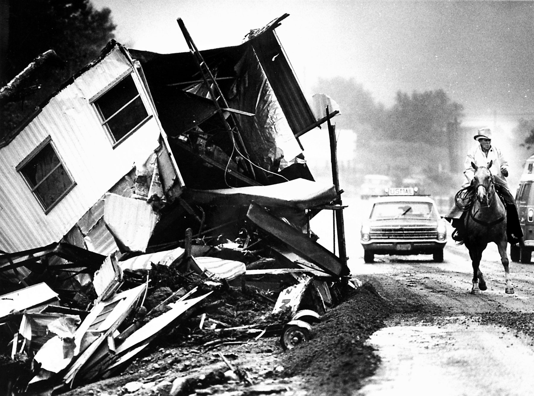
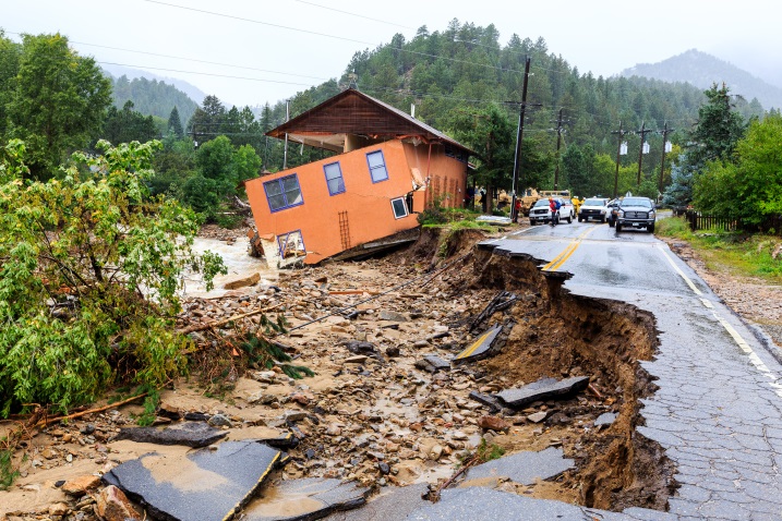
Flood hazards pose major risks to property and human life and have caused some of the largest disasters in Colorado history in terms of financial costs and casualties. Between 20 to 30 large-magnitude floods occur somewhere in the state every year, and major flood disasters (warranting a federal disaster declaration) have occurred on average every five years since 1959. The South Platte River floods of 1965 and the 2013 floods in the Front Range and northeast counties caused multiple deaths and nearly $3 billion and $4 billion in total estimated damage in current terms, respectively. The Big Thompson River flood of 1976 caused 144 deaths. Floods can cause billions of dollars of property and infrastructure damage, resulting in significant economic impacts for directly affected communities and for the state as a whole (Colorado Resiliency Framework, 2015, p. 3-4).
While floods are most frequently caused by heavy precipitation associated with sustained wet weather and/or severe thunderstorms, they may also be caused or exacerbated by other hazards including ice jams or rapid melting and runoff following severe winter storms. In the 2013 Colorado floods, a major cause of flood damage was debris that clogged up bridges and culverts. Another major issue in 2013 was erosion and sedimentation related to natural river processes that are not always captured by floodplain maps. The State has developed a new program and mapping protocol related to identifying risks associated with channel migration, erosion, and deposition of sediment and debris associated as a result of fluvial processes. For more information see Fluvial Hazards.
Community planners should begin assessing flood risk by coordinating with their local floodplain administrator, along with the appropriate staff at the Colorado Water Conservation Board (CWCB), on the identification of the best currently available data and tools for assessing flood risk, as well as the status of any updates or possible enhancements to those resources.
Colorado Risk MAP
The purpose of the Colorado Risk MAP Program is to deliver quality data, technical assistance, and other non-regulatory tools that increase public awareness of flooding potential and lead to action that reduces risk to life and property.
Colorado Fluvial Hazard Mapping Program
The Colorado Water Conservation Board has developed methods for defining stream corridors, including lands adjacent to the stream channel that have been shaped by stream erosion and deposition under the prevailing flow and sediment regimes, as part of the Colorado Fluvial Hazard Zone Delineation Protocol. Fluvial Hazard Maps may be used to identify where the deposition and storage of water, sediment, and organic material is likely during a flood. The CWCB seeks to work with community organizations and planners to identify high priority areas for the development of Fluvial Hazard Maps.