Table of Contents
Application submittal requirements are the materials that must be submitted to a local government (usually the planning department) to initiate the development review process. Requirements vary from community to community and by type of project. Building a small addition to an existing building may require little more than filling out a brief application, while developing a large new mixed-use project typically requires complex supporting materials that identify uses proposed, the site layout, and building design, among other features. Other requirements might include letters from adjacent property owners demonstrating support of a project and certification of sufficient infrastructure capacity from local utility providers. Submittal requirements are important because they determine what baseline information will be available to help staff and officials make informed decisions about how the community grows.
To develop or amend application submittal requirements, it is important to work closely with other local government agencies or departments that will be reviewing applications for development. Predictability is the key. When a developer knows exactly what is required for a submittal package, it helps them allocate resources and ultimately meet their bottom line. Problems can arise when the community asks for information that is unanticipated and was not requested as part of the original application.
Application submittal requirements typically specify, at a minimum, the type and format of plans required, the number of copies of required documents, applicable fees, proof of ownership, and required signatures. Although some communities include submittal requirements in their zoning and development ordinances, this information is best left outside the ordinances and put online and in the planning department offices, allowing them to be updated over time without ordinance amendments. Keeping administrative material outside the code also makes for a simpler, more user-friendly code.
The types of information typically requested to inform the evaluation of development proposals include a map of the proposed development area and a description of existing site characteristics, including geologic, vegetative, topographical, and environmental conditions. If the site is a known or suspected hazard area, communities often require an assessment of whether site characteristics may create a hazard risk, and an analysis of the intensity and character of existing and proposed development and its relationship to the hazard.
The Town of Frisco hosts application submittal requirements on a dedicated page on its website. Each procedure includes a form that describes the review and approval process, outlines the application materials required, and includes an online standard PDF form that can be filled out digitally.
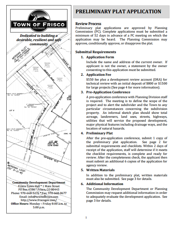 For example, for preliminary plats, the department can request geologic investigation reports and soil-type interpretations. These can be used to ensure that future development is feasible within or proximate to known hazard areas.
Frisco’s approach makes it clear to developers and other property owners what the expectations are for completing an application. The dedicated webpage is a one-stop-shop; it includes forms for building permits, business-related licenses and permits, planning permits, and water billing forms (Frisco Forms & Permits, n.d.).
Estes Park also asks for hazard information to be included in most development applications. The application forms with basic submittal requirements are included on the website, and an appendix to the development code lists all submittal requirements for various types of planning activities. For a subdivision preliminary plat, a map of existing conditions is required with an application and must identify floodplains, topography (including detailed slope analysis), and areas of geologic and wildfire hazards. The development code Section 7.7 is referenced to further describe the requirements for mapping those hazards and implementing proper mitigation techniques (Development Code, 2015).
Jefferson County mitigates potential geologic hazards to developments through application requirements outlined in their Land Development Regulation. In addition to meeting the adopted standards of hazard identification and mitigation, applicants must provide the County with geologic and geotechnical reports and plans. These documents describe the characteristics of the bedrock, surficial geology, hydrology, and mineral resources of the property, investigate the potential impacts of adverse geologic conditions on the proposed development, and provide methods for hazard mitigation and the abatement of adverse conditions.
The key benefit to requiring hazard information with development applications is that any issues can be addressed up front, rather than after the project has been through a round of designs. Other benefits include:
- Requiring hazards information with an application submittal makes it clear that minimizing risks to hazards is a priority in the community.
- Benefits property owners over time by reducing potential property damage by minimizing risks to hazards.
- Requiring the applicant to provide evidence of appropriate mitigation relieves staff and local decision-government makers from making judgments that they may not otherwise be trained to make. It also minimizes liability since communities can require evidence to be prepared by licensed professionals (geologists, engineers, foresters, etc.).
- Early identification of potential hazard issues can be dealt with during development review, avoiding awkward opposition during the public hearing process.
The amount and type of information required for development applications can be a point of contention among the development community. Developers that work in several jurisdictions are quick to compare the requirements to another community where “development is much easier.” Communities that are relatively demanding with applications may run the risk of discouraging development. Planners should ask themselves whether the required information will be used in the decision-making process and is necessary to adequately make a determination of compliance.
Additionally, technical reports and studies can be expensive to produce, so staff should make sure these are necessary for developments during a pre-submittal process. Applicants should not be expected to make large investments in documenting hazard areas and mitigation techniques before they have a sense of whether the project is viable.
Administrative capacity
Minimal experience but good communication about procedures and review requirements will improve quality of submittal documents received
Mapping
Applications may include a general site map showing known hazard areas (e.g., floodplain)
Regulatory requirements
Land use regulations and/or development permits such as building permits
Maintenance
Forms and submission requirements should be updated as new federal, state or local regulations are adopted
Adoption required
Not required but authorizing a responsible agency or department to develop submittal requirements and forms defines authority and minimizes gaps
Statutory reference
N/A
Associated costs
Minimal staff time
Examples of the tool
Town of Estes Park Estes Valley Development Code (Section 7.7)
Town of Frisco Flood Preparedness and Forms and Permits
Jefferson County Land Development Regulations (Section 25)
Larimer County Land Use Code (Section 8.3.8)
Summit County Zoning Regulations (Section 4204.02)